
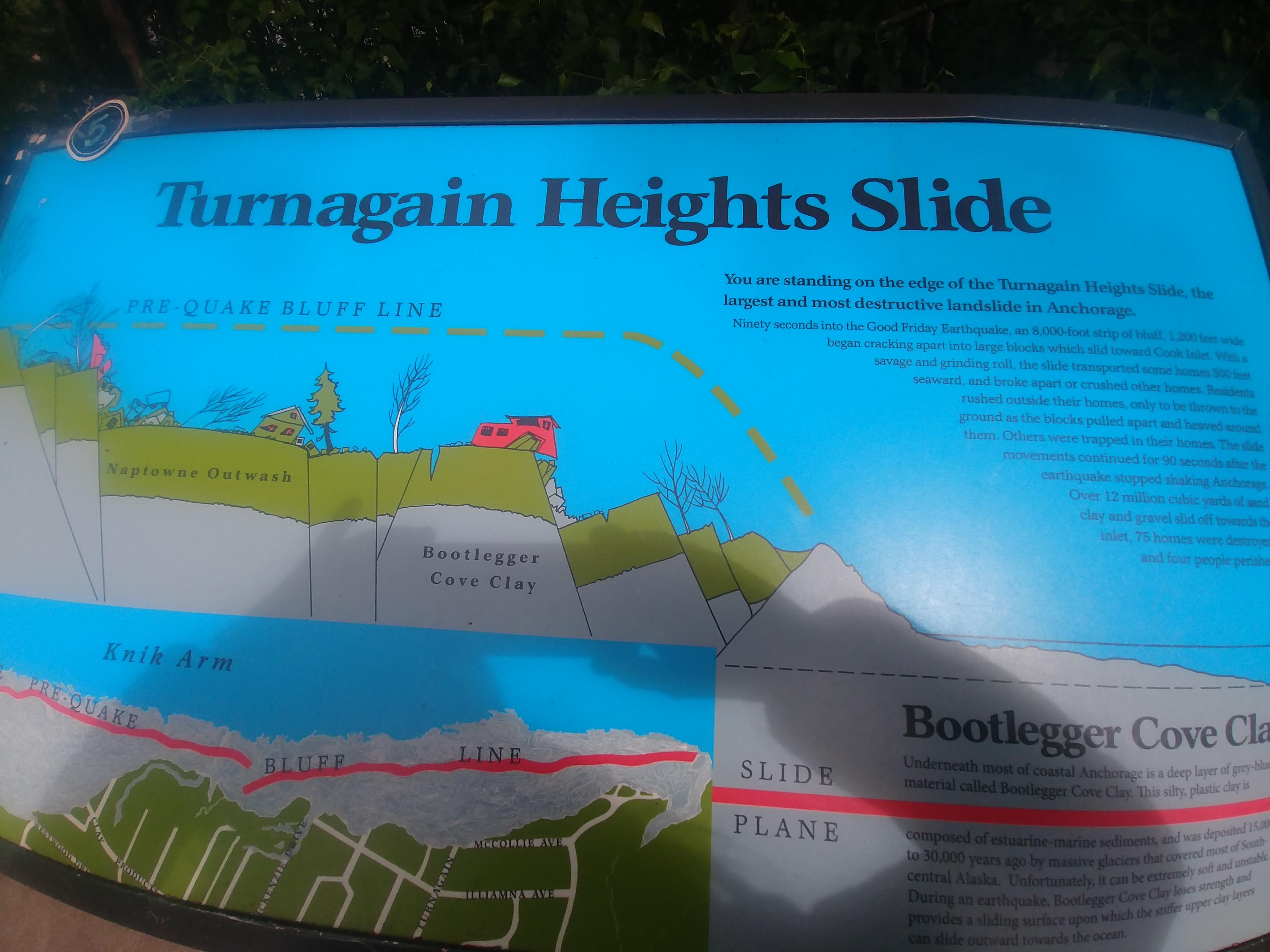
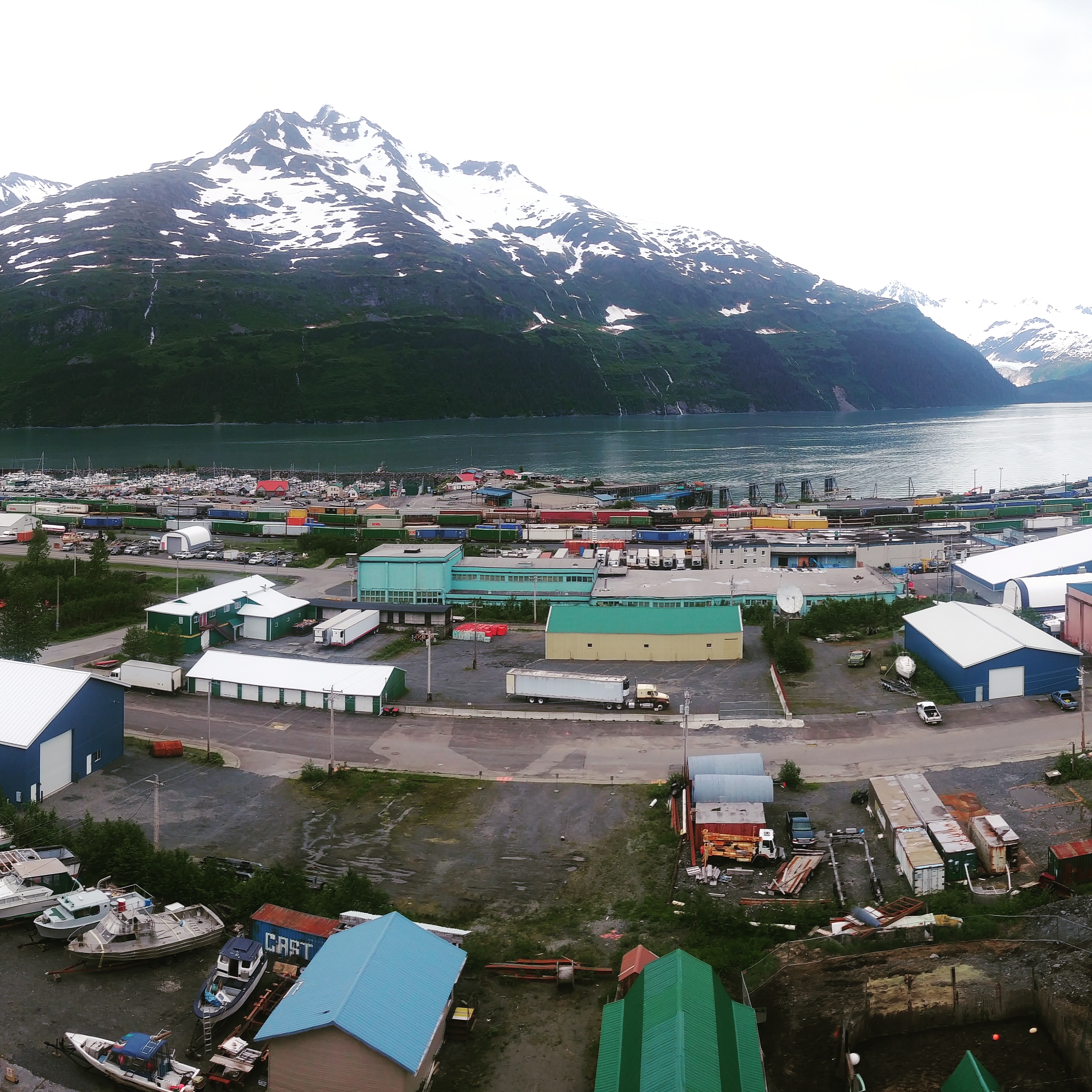
It was almost unbelievable to learn about how the ’64 quake changed the Kenai peninsula forever. We started with a trip to “Earthquake Park” in Anchorage. While the land has been covered by vegetation, the shifts in elevation are crazy. Some areas fell or were lifted 50 feet. In Whittier, there are tiny museums that describe the devastation and death caused by tsunami waves – first a 20 foot, and then a 100 foot – that completely destroyed most of the homes and businesses on the shore of the Prince William fjord.

I assume the area still active techtonically. Is this where plates meet, or what is the precursor for these quakes?
LikeLike
Great Alaska Earthquake was caused by the Pacific Plate lurching northward underneath the North American Plate. It was the strongest earthquake in recorded US history. The same motion can occur near Puerto Rico (Puerto Rican trench), Also remember the Lima Earthquake? Andes subduction zone. Yes, it is currently an active zone. Plate motion never becomes “dormant” like volcanoes can.
LikeLike
The earthquake occurred along a subduction zone (like the Puerto Rican Trench and the Nazca plate and south American plate beneath Peru). The Alaska ’64 earthquake was caused when the Pacific Plate lurched underneath the North American plate. This caused land to rise up (above volcanos) and other land to drop suddenly.
LikeLike