Homer and Seldovia

Kachemak Bay

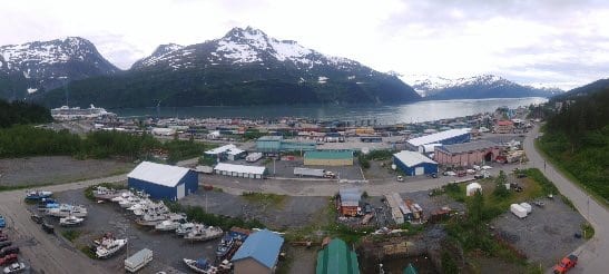
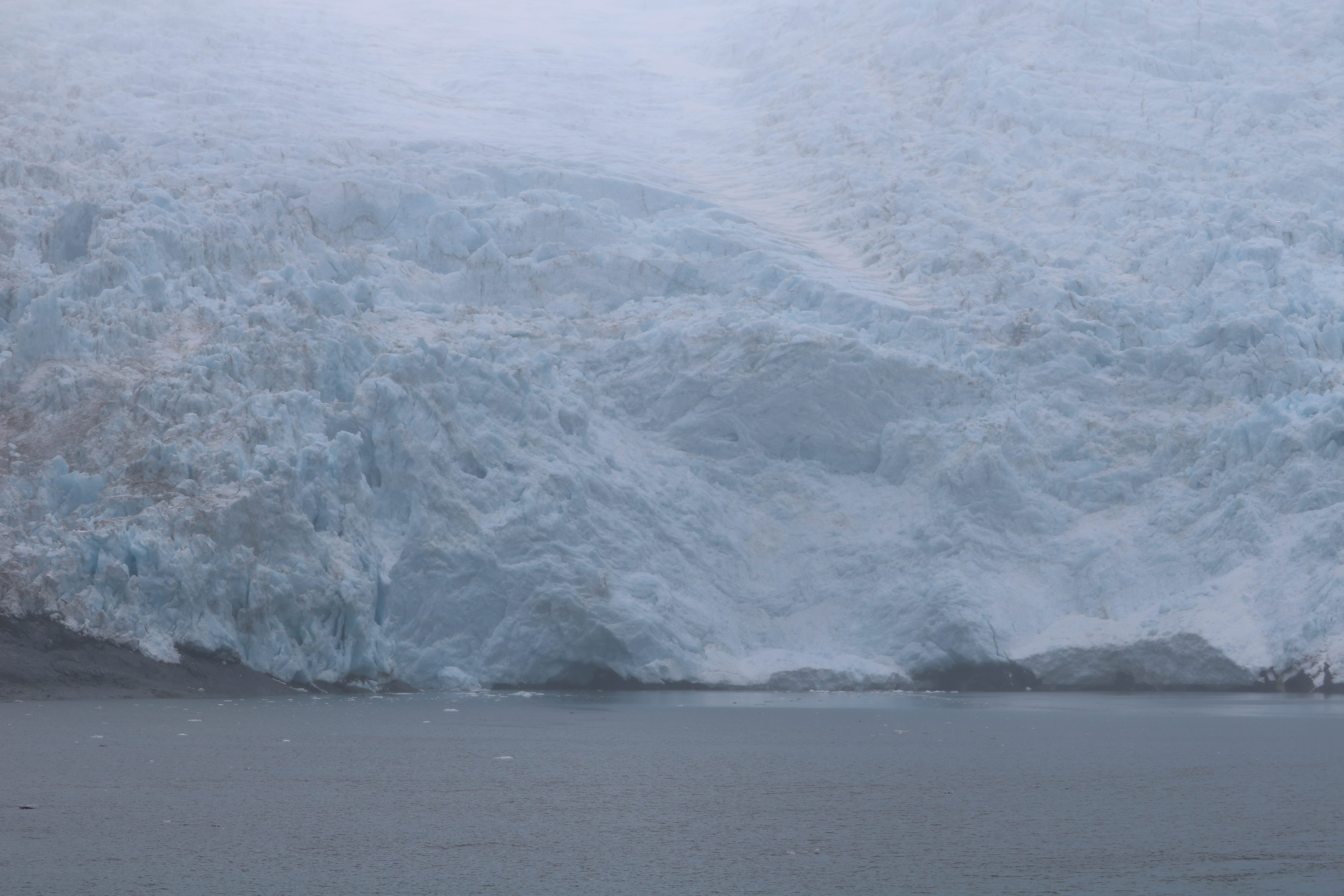
Homer is a small town (~5000 year round inhabitants) on the shore of Kachemak Bay in the southwest portion of the peninsula.  One very interesting geologic feature, is a 4.5-mile-long, wide glacial moraine that is almost completely developed with homes and businesses. It is also the main harbor for ships and boats, mostly fishing vessels. Homer is the “halibut capital of the world”. Half of the area of Homer is water. Due to rising sea levels, the moraine (Homer Spit) is losing four inches of land each year. I want to point out though, that moraines do come and go naturally.

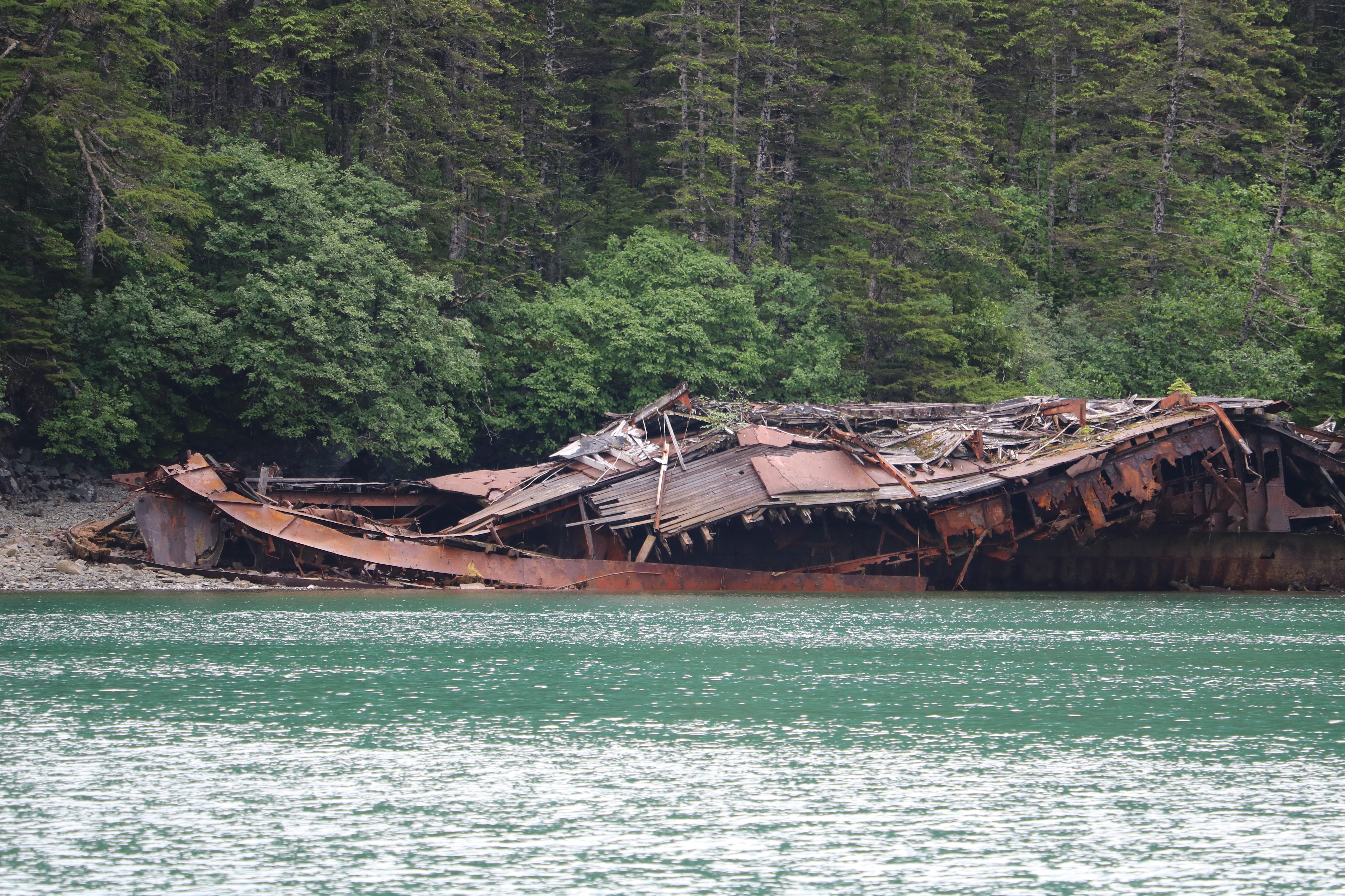
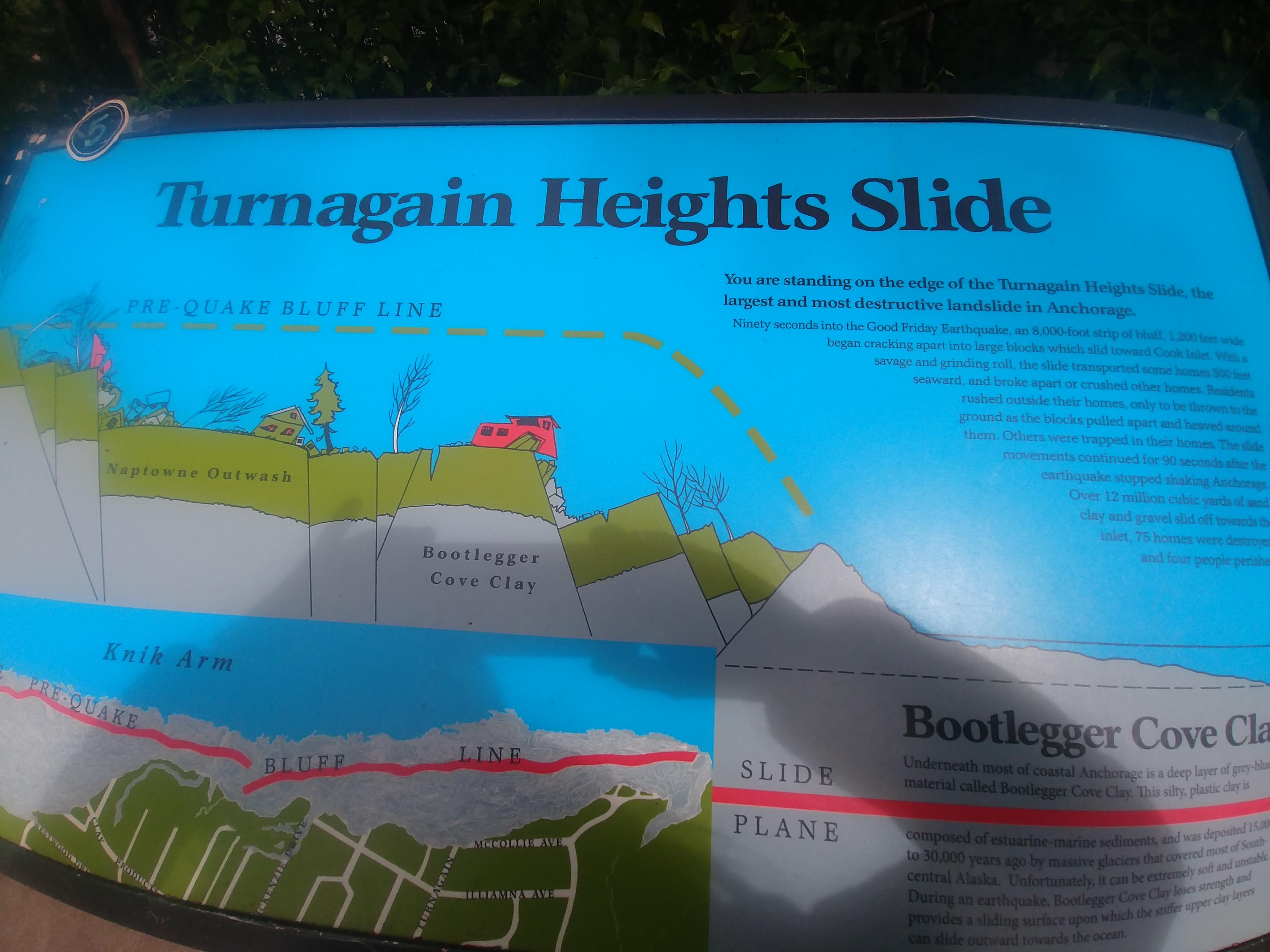
The Good Friday Earthquake sank much of the coastline in homer, and the moraine lost all of the vegetation due to the rising water from the resultant tsunami. The “salty Dog Saloon”, a popular tourist bar and restaurant, was flooded up to the top of the bar, but the mostly original building still stands, and is always crowded.

Homer was first inhabited (native people did camp there from time to time) by Europeans when coal and some gold were discovered by mining companies. The mining initiatives didn’t “pan” out, and nowadays, the dominant industries are halibut and salmon sport fishing, tourism and commercial fishing.

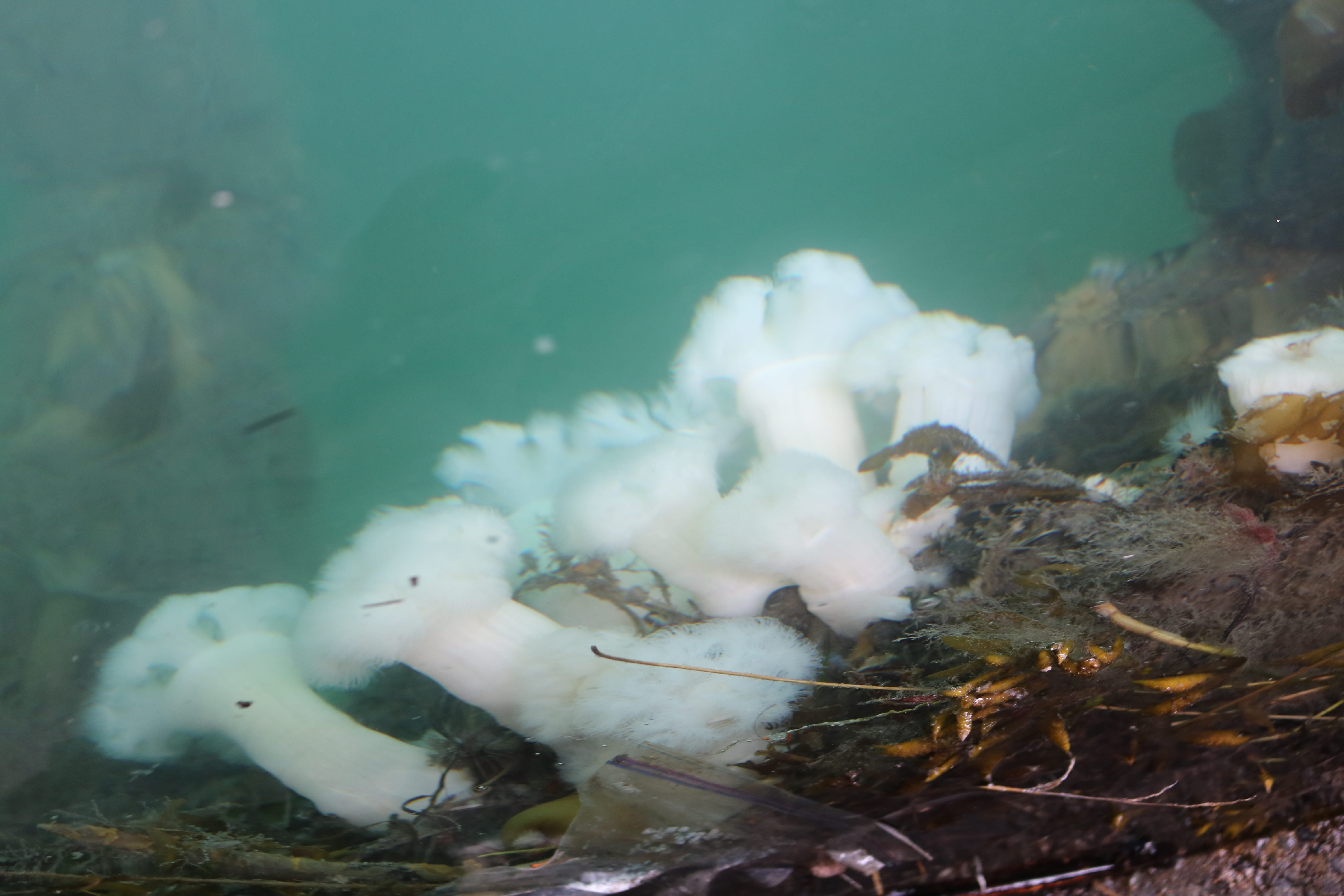
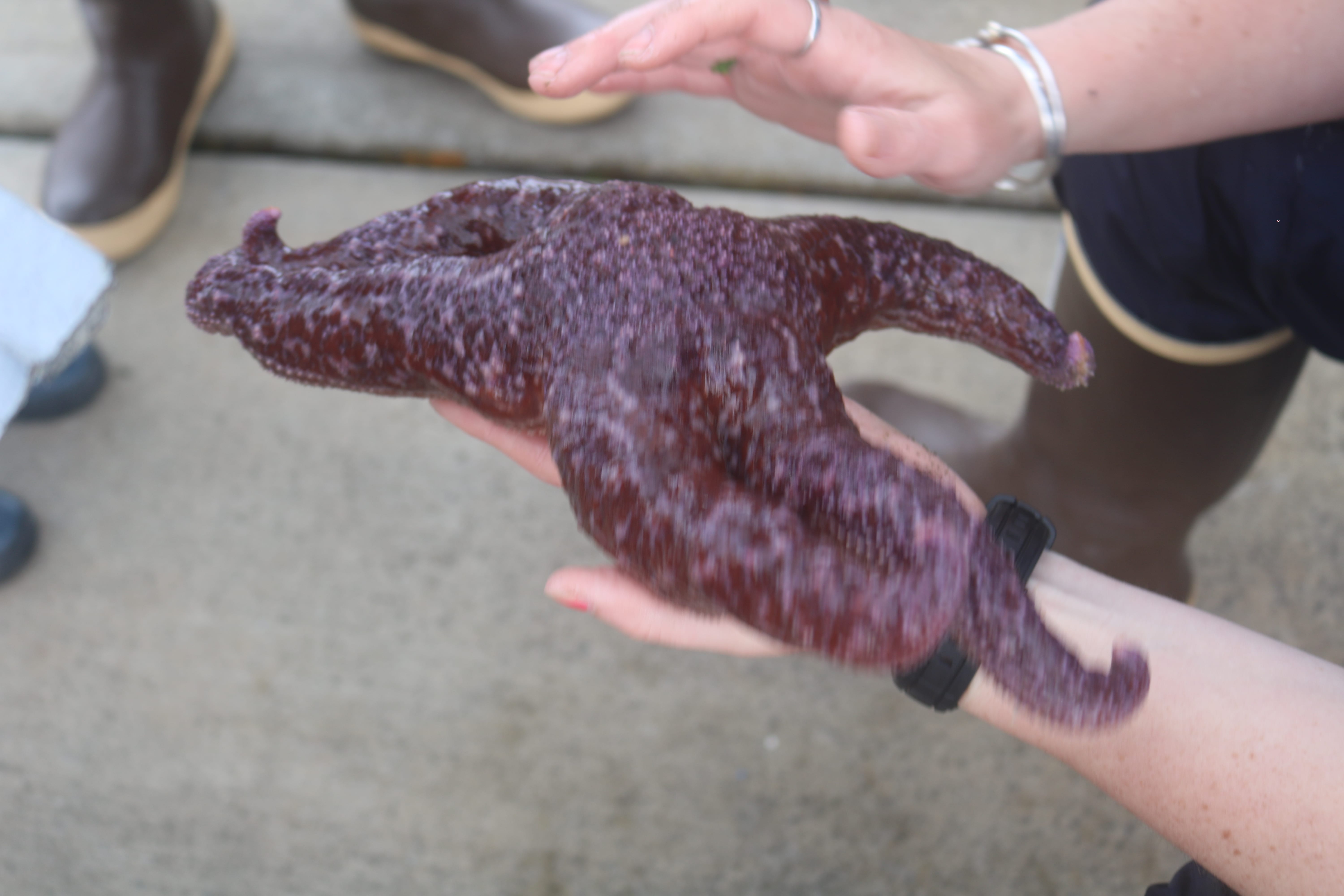
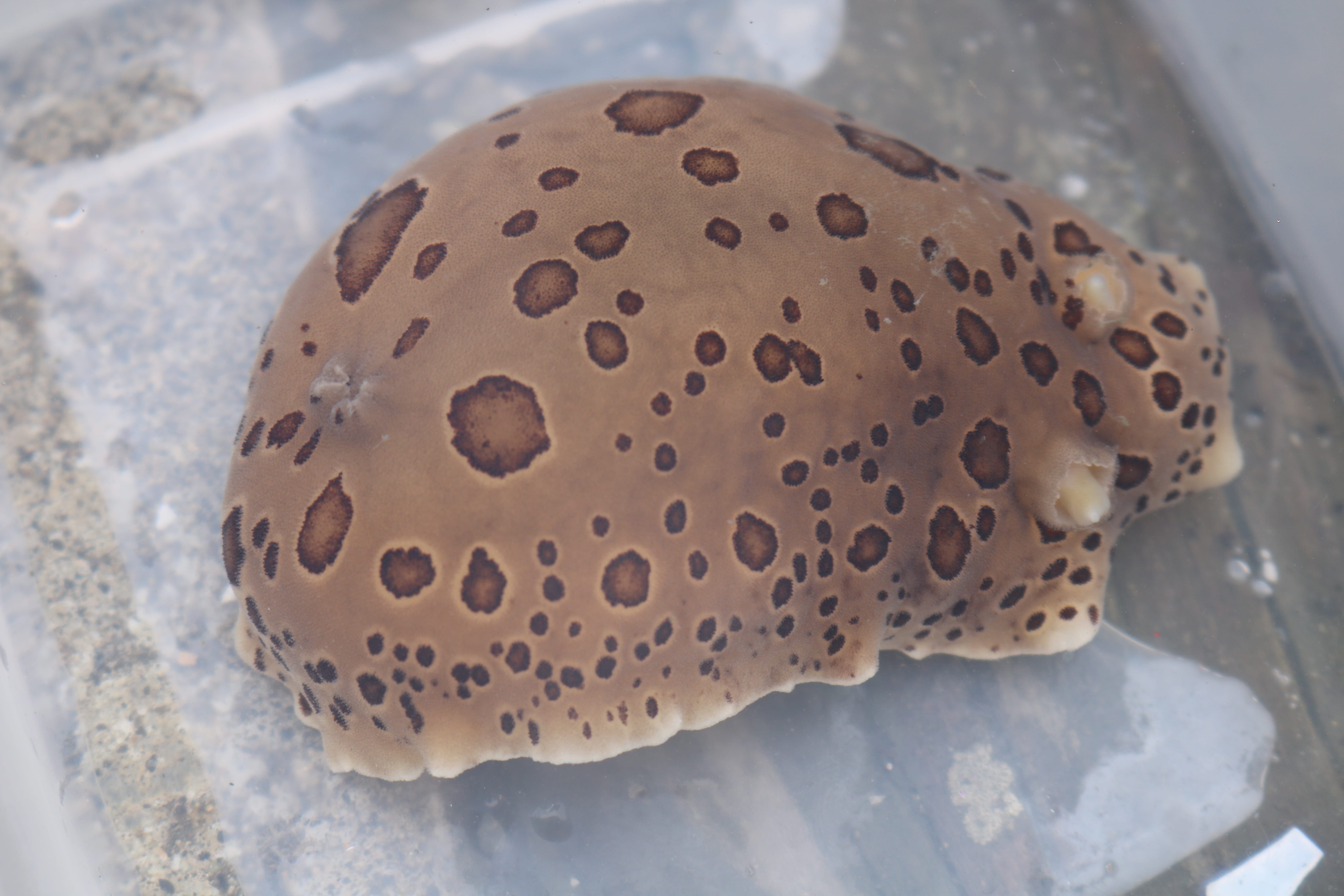
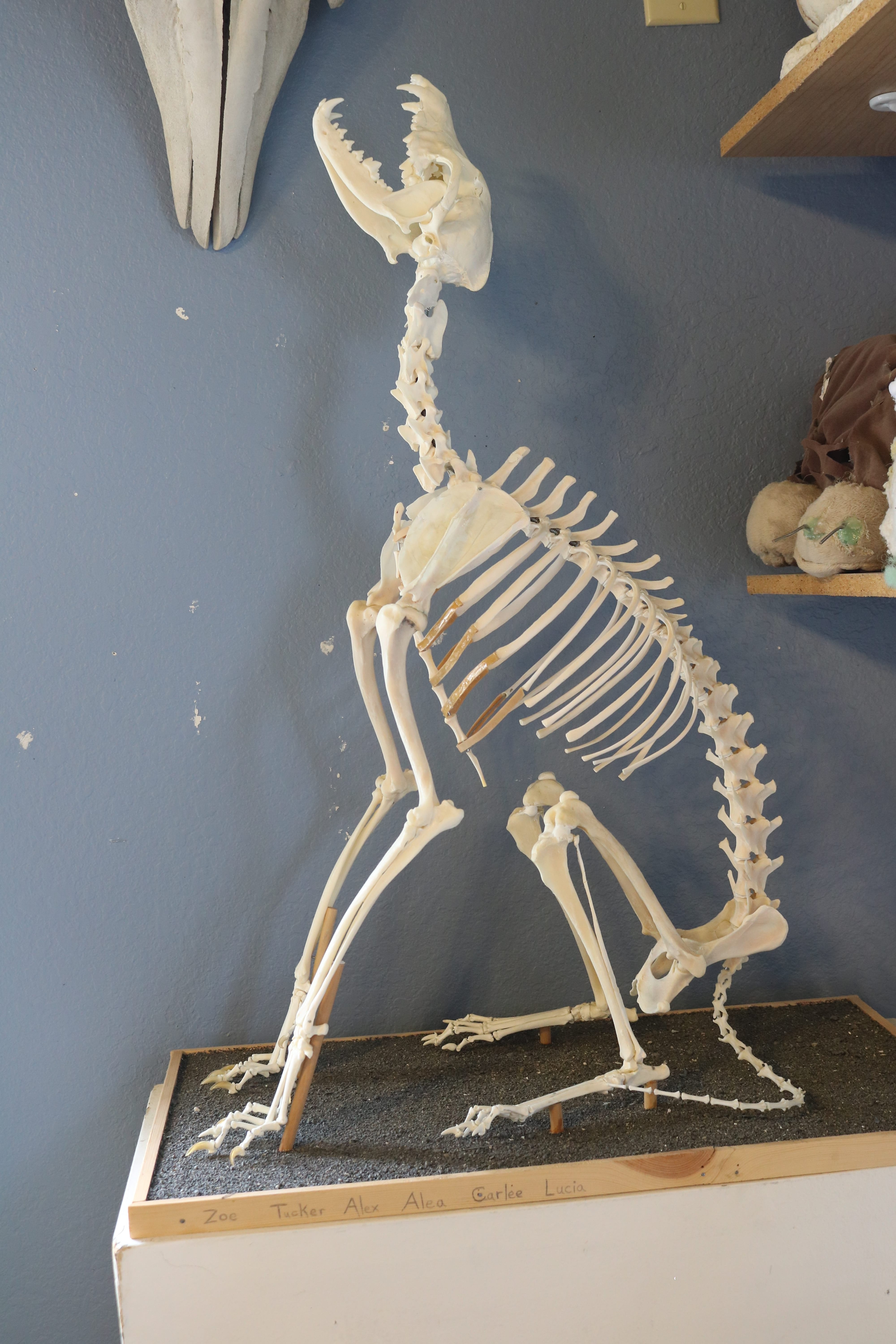
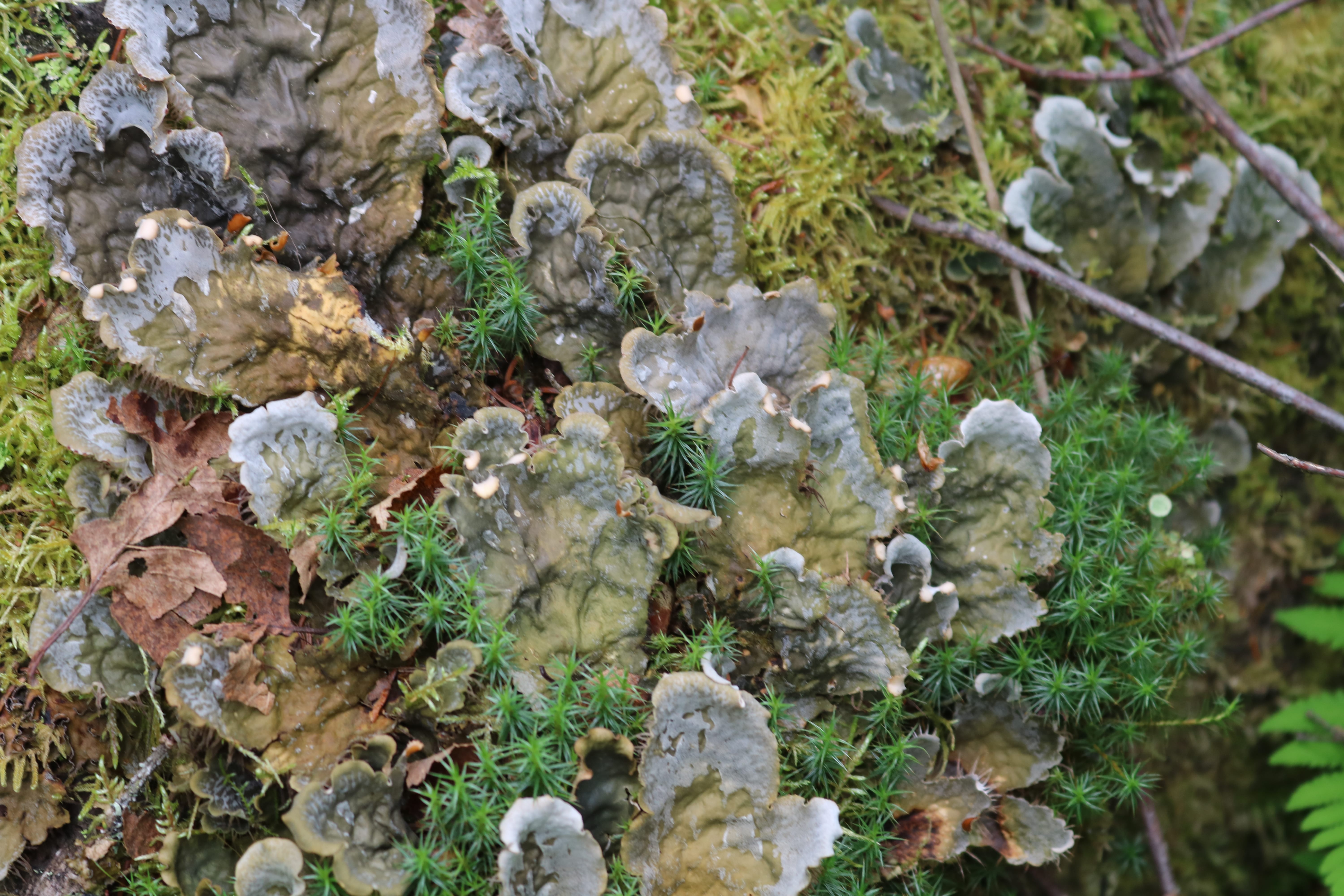
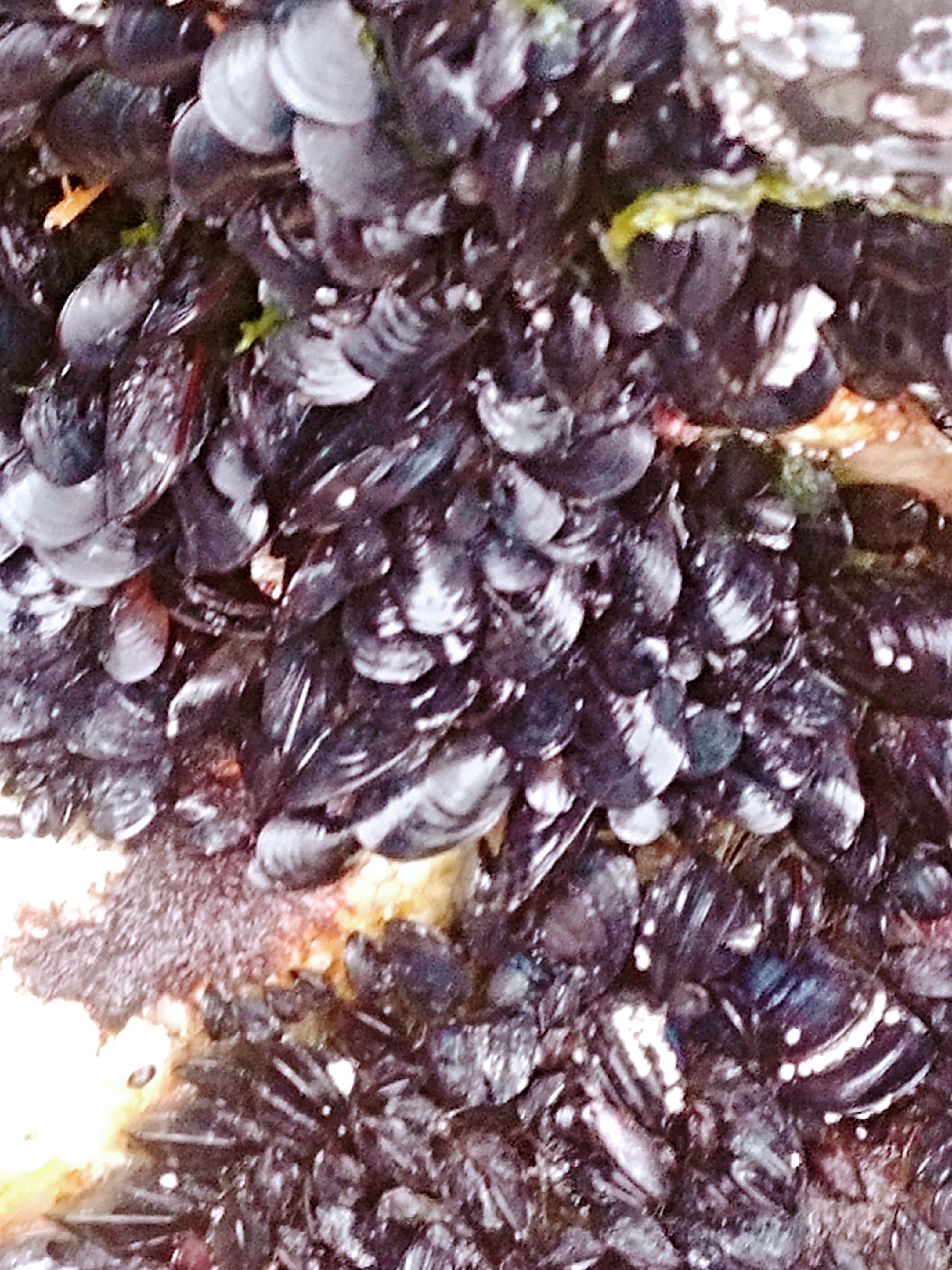
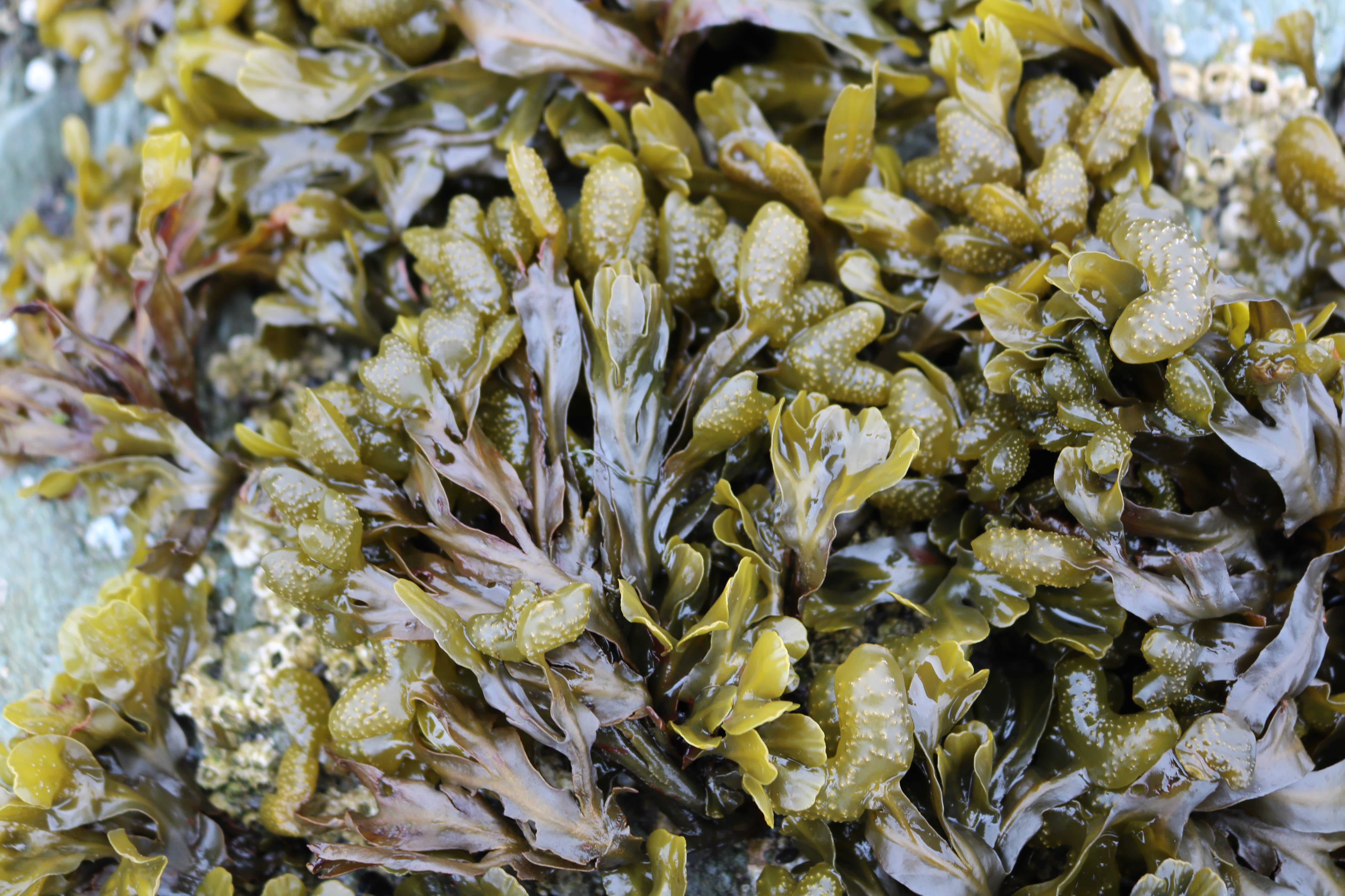
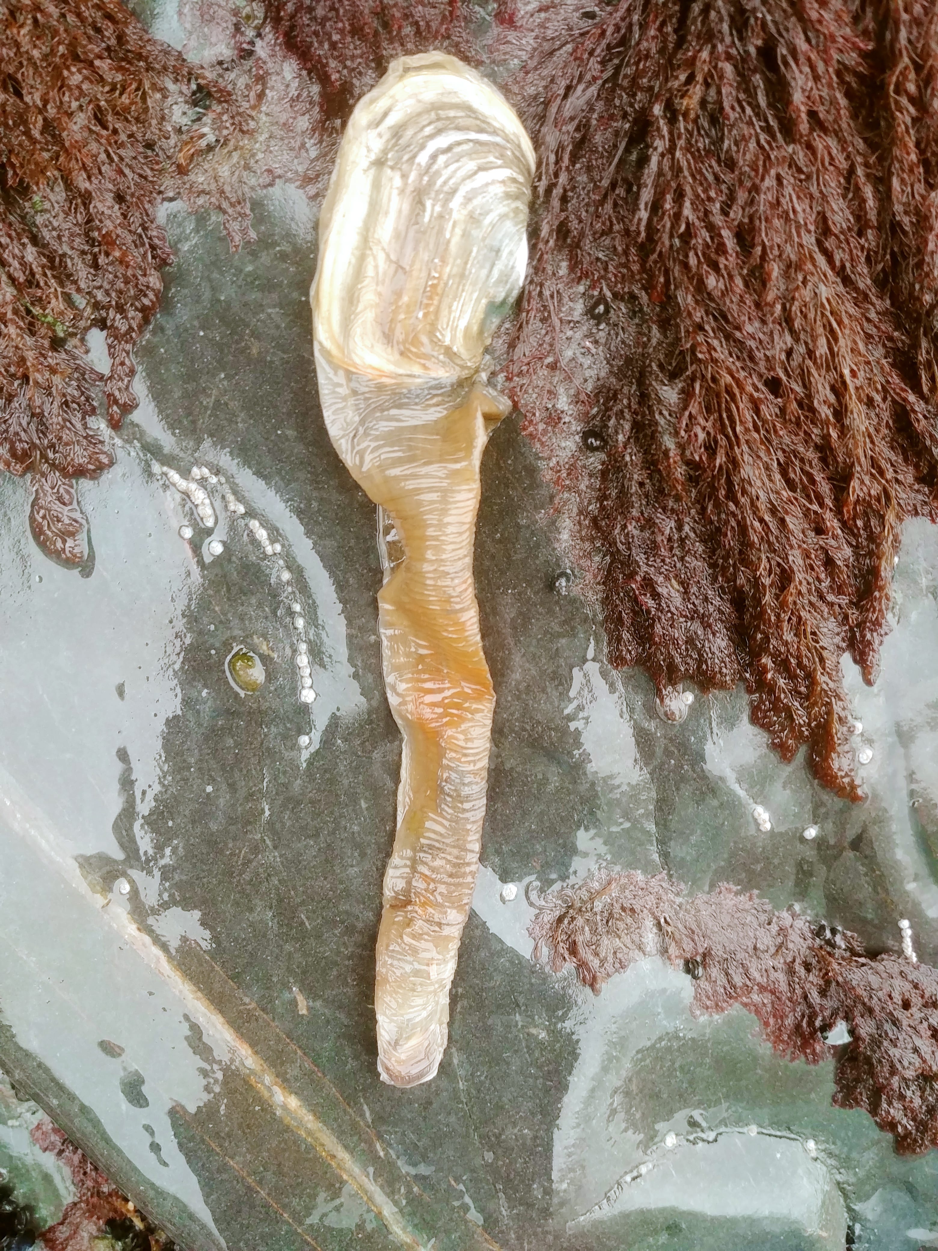
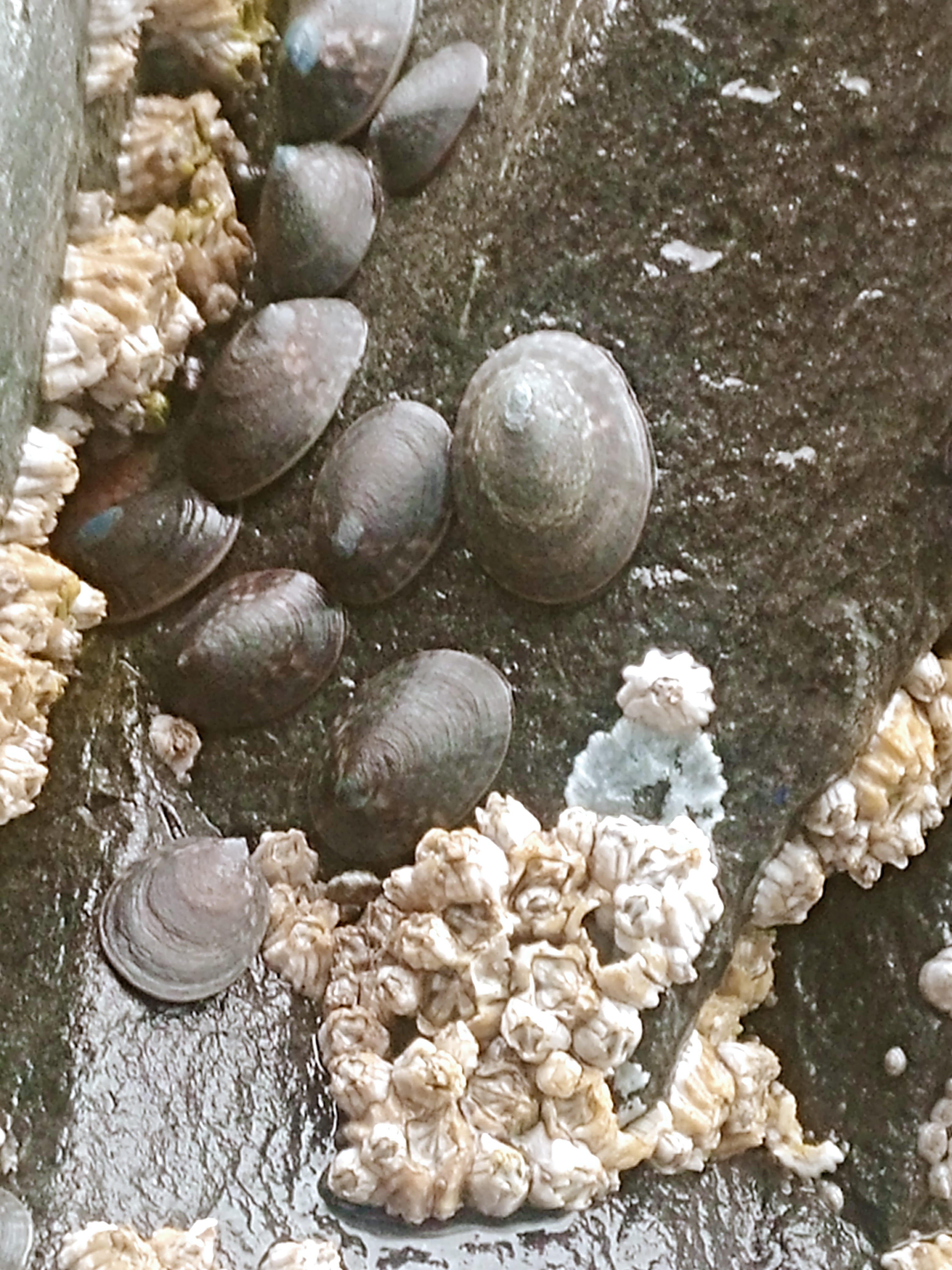
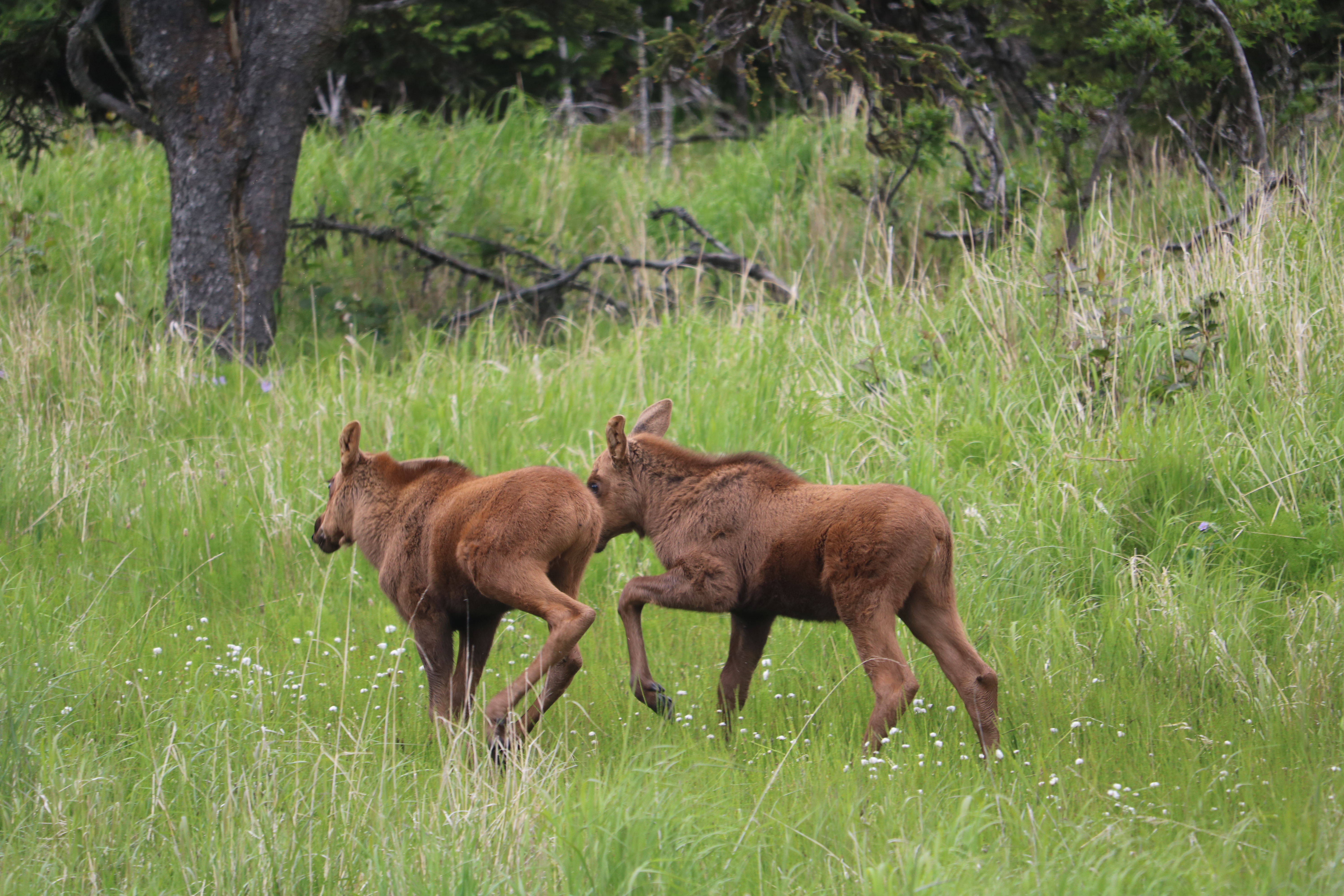
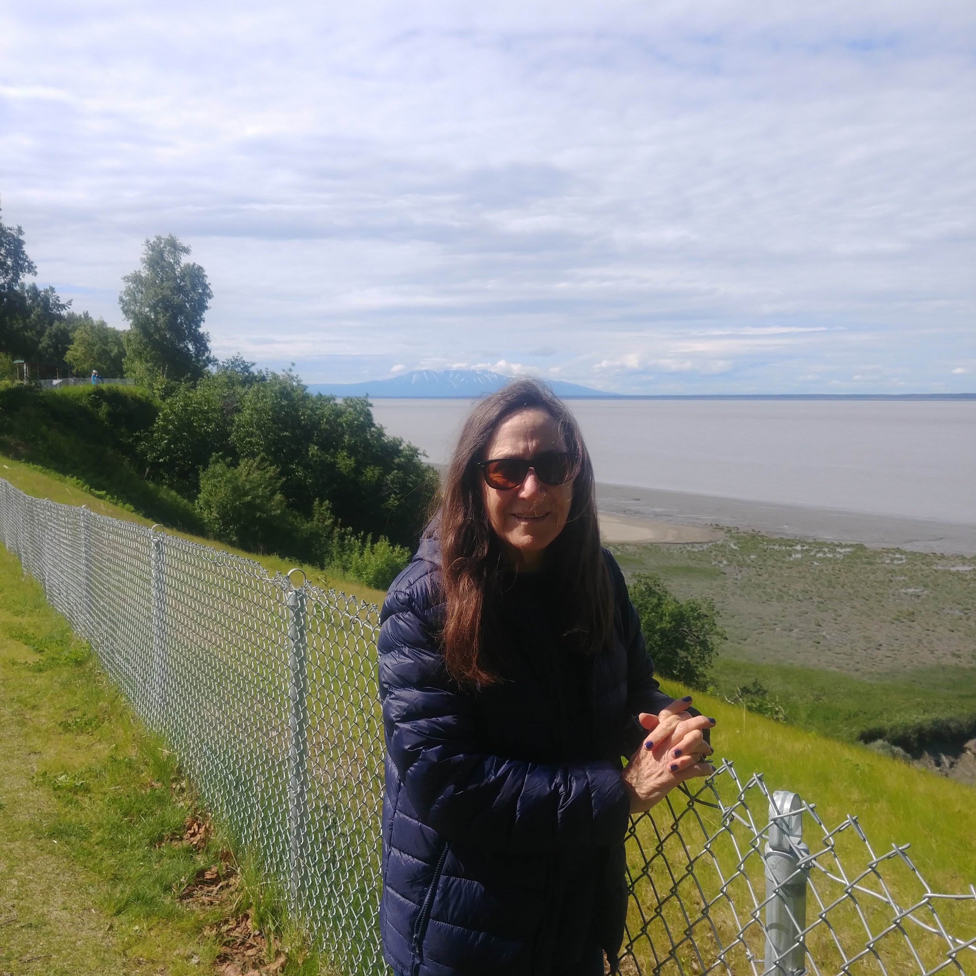
There is a wonderful environmental education organization called the Center for Alaskan Coastal Studies. They are very much concerned with rare and endangered species, and the effect of human activity on changing populations. We were able to tour the Alaska Maritime National Wildlife Reserve with one of the center’s directors of educational programs. She explained that Many of the endangered and threatened species in Alaska are vulnerable to population declines because of their rarity, their restricted distribution, their dependence on limited habitat and their sensitivity to environmental disturbances. Because of their narrow ranges of tolerance, they are very vulnerable to adverse weather conditions or natural or man-made disasters.

Homer Spit is called…
Sea Anemones attached to the pilings of the harbor
Sea stars ranging from tiny to very large feed on mussels and other marine creature in the harbor.
A beautiful sea slug
An otter skeleton, re articulated by 5th grade students.
At the Center for Alaskan Coastal Studies, students work with a biologist to assemble the bones of Arctic animals.
Advertisement

The Kenai – Rich Boreal Forests and magnificent glacial fjords

Throughout the Kenai peninsula, one can find abundant natural food sources. This is due to the amount of rain (Chugach is a temperate rain forest) and relatively mild spring and summer temperatures at sea level. Kenai is in stark contrast to the land north of Fairbanks, heading up toward the Arctic Circle. Beside meat sources — mammals, fish, birds, mollusks, shellfish, etc., there are naturally occurring fruits, fungi and vegetable matter everywhere, that can be processed, or are ready to consume. They are nutritious and quite tasty. Throughout the fjords, we found a delicious plant growing on the rocky beaches. The thick leaves tasted exactly like green beans.

While there have been some bear attacks on humans, they are rarely for lack of food.

There are also many medicinal plants found in the Kenai, that have been used by the Native Athabascan people (the Kahtnuht’ana Dena’ina), and continue to be used or synthesized as medicines today.

Fern tips are gathered in the springtime
The lush Boreal Forests are filled with many types of berries, edible roots, stems and leaves and mushrooms
Wild roses as well as other flowers are used in teas
Wild dogwood and cranberries abound in the meadows. Every home has salmon-berry/cranberry jam
There are many types of edible fungi in the forest
Food from the sea
Mussels

Long-necked clams
Limpets

Sitka Spruce tips are filled with nutrients
The farmed vegetables are the best I have ever tasted, and the seafood is sweet and clean.


Whittier Alaska – A strange little town with a fascinating history

Whittier is a small but important port town that is situated in the Chugach National Forest on the Prince William Sound. It was an important portage for the Native Chugach people, and later for Russian and American explorers and trappers. After World War 2, the military built a base there. A 2.5 mile tunnel was excavated (considered an engineering feat) that a train was able to pass through. In 1943, it became the port of entry for all US soldiers entering Alaska. In the early 2000’s cars were allowed to pass.

Upon entering Whittier (through the small one way tunnel) one is presented with a scene that might be reminiscent of a the Soviet era. All of the towns 200+ residents live in what was a tall concrete military apartment building. Another crumbling military operations building was deserted after the devastating 1964 earthquake, that took many lives, and cost 10 million dollars.

That being said, the view across the fjord is absolutely magnificent! Wildlife abounds. We took a smallish ship to the glacier and saw many aquatic birds and mammals. There is also a rich and interesting museum dedicated to explorers, World War 2 soldiers — both US and Japanese, and pictures of and stories about the “Good Friday” earthquake.


We stayed on the top floor of Begich Tower                             Visitors can come by train from Anchorage

The town of Whittier from Begich Tower


Old passenger ship wreck


Whittier Glacier


Smithsonian Arctic Studies Center in the Anchorage Museum

The “First Peoples of Alaska Exhibit” is a comprehensive collection on loan from the Smithsonian Institution. In this “first of its kind” display, hundreds of indigenous Alaska artifacts have been made accessible for hands-on study by Alaska Native elders, artists and scholars. The exhibit focuses on peoples, history, archaeology and cultures across the circumpolar North.

“Imarnin” – Gut parka -waterproof parka made from whale, caribou, otter and bear intestine
One collection blended modern and traditional influences on young Northern Native artists.


Totems made from backpacks
Arctic Pingo

A pingo, also called a hydrolaccolith is an arctic  hill of ice that grows over centuries in the Arctic’s highest latitudes, then collapses, pockmarking the tundra.

Using salvaged Alaskan yellow cedar, John Grade, one of the world’s leading contemporary artists, has created an intricately carved sculpture (15’ x 38’ x 42’) that represents This sculpture simulates a pingo in Alaska’s Noatak National Preserve, mapped by the artist using photogrammetry. The sculpture is animated, and  mimics the pingo’s life cycle at a time when this is accelerating due to unprecedented environmental change.

The 1964 Earthquake. 9.2 Magnitude

It was almost unbelievable to learn about how the ’64 quake changed the Kenai peninsula forever. We started with a trip to “Earthquake Park” in Anchorage. While the land has been covered by vegetation, the shifts in elevation are crazy. Some areas fell or were lifted 50 feet. In Whittier, there are tiny museums that describe the devastation and death caused by tsunami waves – first a 20 foot, and then a 100 foot – that completely destroyed most of the homes and businesses on the shore of the Prince William fjord.

North to Alaska!

This summer I will be traveling to the Kenai Peninsula to learn about changes in oceans and marine organisms, and to Denali Park to observe and learn first-hand about the Alpine Taiga biome. In particular, I  plan to visit glacier areas where regression of the ice over the past 100 years is documented.

The Kenai Refuge is a Congressionally-designated wilderness area. The Kenai National Wildlife Refuge, often called “Alaska in miniature”, is home to a wide diversity of wildlife including moose, eagles, brown and black bears, lynx, wolves, and trumpeter swans.  The area includes ice fields and glaciers, with their own particular plant and animal species. The diverse area also includes tundra, boreal forests, lake and wetlands. This is a small area to include so many biomes. One purpose of the refuge is to maintain the treaty conditions set forth by Native American people and International law. The Western Kenai Peninsula, was occupied by Athabascan Indians called Dena’ina. The Dena’ina migrated south from the Upper Susitna River region, gradually displacing an established Eskimo culture on the Kenai Peninsula. The National Wildlife Refuge provides educational programs and materials to teachers. I will be kayaking and camping on the Fjords.

Denali Park is comprised of six million acres of wild land. The entrance to the park is within low-elevation taiga forest and ascends to high alpine tundra and snowy mountains. Denali’s peak is North America’s tallest.  The park is filled with free roaming wildlife, and is a great place to study birds. I will stay within the park for three days.

It is one thing to read about how the world’s biomes are clustered around the planet (for example desert-grassland-jungle-forest), but quite another to observe the changes for oneself as you slowly travel from one latitude/longitude/altitude to another. The experience will add a priceless authenticity to my teaching practice.